FORESTRY
Enhanced Forest Management with Pixxel’s Hyperspectral Imagery
Discover Pixxel’s analysis-ready hyperspectral imagery for efficient forest mapping, ecosystem monitoring, and habitat assessment.

Pixxel’s hyperspectral satellites capture unique spectral information globally at impressive spatial and temporal resolutions. This data provides crucial insights regarding habitat health and threats to forests. With Pixxel, organisations and researchers are empowered to make informed
decisions to protect and enhance the vitality of our global forest systems.
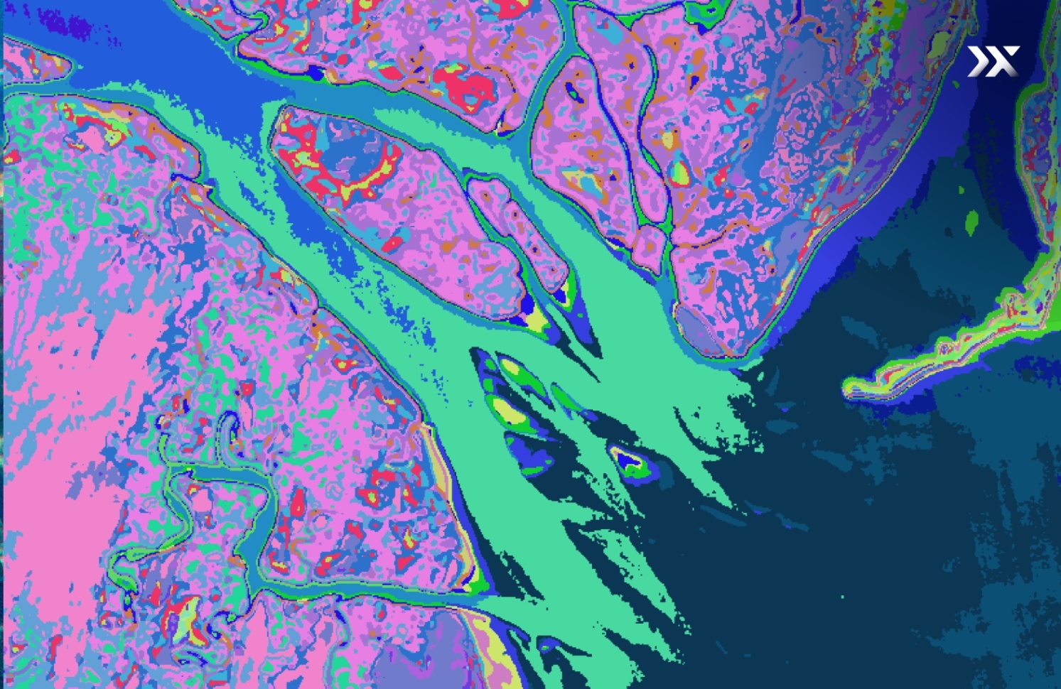
.png)


Addressing Key Forestry Challenges
The forestry industry struggles with outdated practices and a lack of comprehensive data, hindering forest efficiency, sustainability, and resilience of forests. Advanced, data-driven solutions are key to addressing these challenges.

Forest Fragmentation
and Habitat Loss
Urban expansion and infrastructure development lead to fragmented forests, disrupting wildlife habitats and reducing biodiversity.
Climate Change
Impacts
Rising temperatures and changing precipitation patterns exacerbate the frequency and severity of wildfires, droughts, and storms.
Lack of Community
Engagement
Without involving local communities in forest management, efforts often lack the necessary support and local knowledge to be effective.
Illegal Logging and
Poaching
Insufficient surveillance and enforcement allow illegal logging and poaching to thrive, depleting forest resources and threatening endangered species.
Discover the
Hyperspectral Advantage
Hyperspectral imaging enables precise identification and detailed characterisation of forest materials through narrow wavelength bands, spectrally fingerprinting the Earth to provide unique insights into their biophysical and biochemical properties.

5-metre spatial resolution

250+ VNIR and SWIR bands

24-hour revisit frequency

40-kilometre SWATH width


Precision Forestry in Action
Hyperspectral Applications
for Smarter Forest Management
Localised problem detection and data-driven forest management
Pixxel’s imaging satellites capture information across up to 150 spectral bands, providing accurate tree species classification data and promoting sustainable forest management practices.
Hyperspectral images of forests help decision-makers identify highly localised in-forest patterns and region-specific trends, ensuring precise problem detection, effective forest planning, and environmentally responsible management. This technology also supports continuous variation tracking to improve operational efficiency yearly.


Tree and habitat health monitoring
With a 5-metre spatial resolution, Pixxel’s satellites provide detailed insights into tree variations, biochemical composition, and health.
Hyperspectral data detects nutrient deficiencies, vegetation stress, and soil imbalances, allowing timely interventions to optimise forest health, reduce costs, and allocate resources efficiently. By continuously monitoring these factors and providing detailed insights into tree and soil conditions, foresters can take precise actions to improve forest health, support soil regeneration, and maintain long-term sustainability.
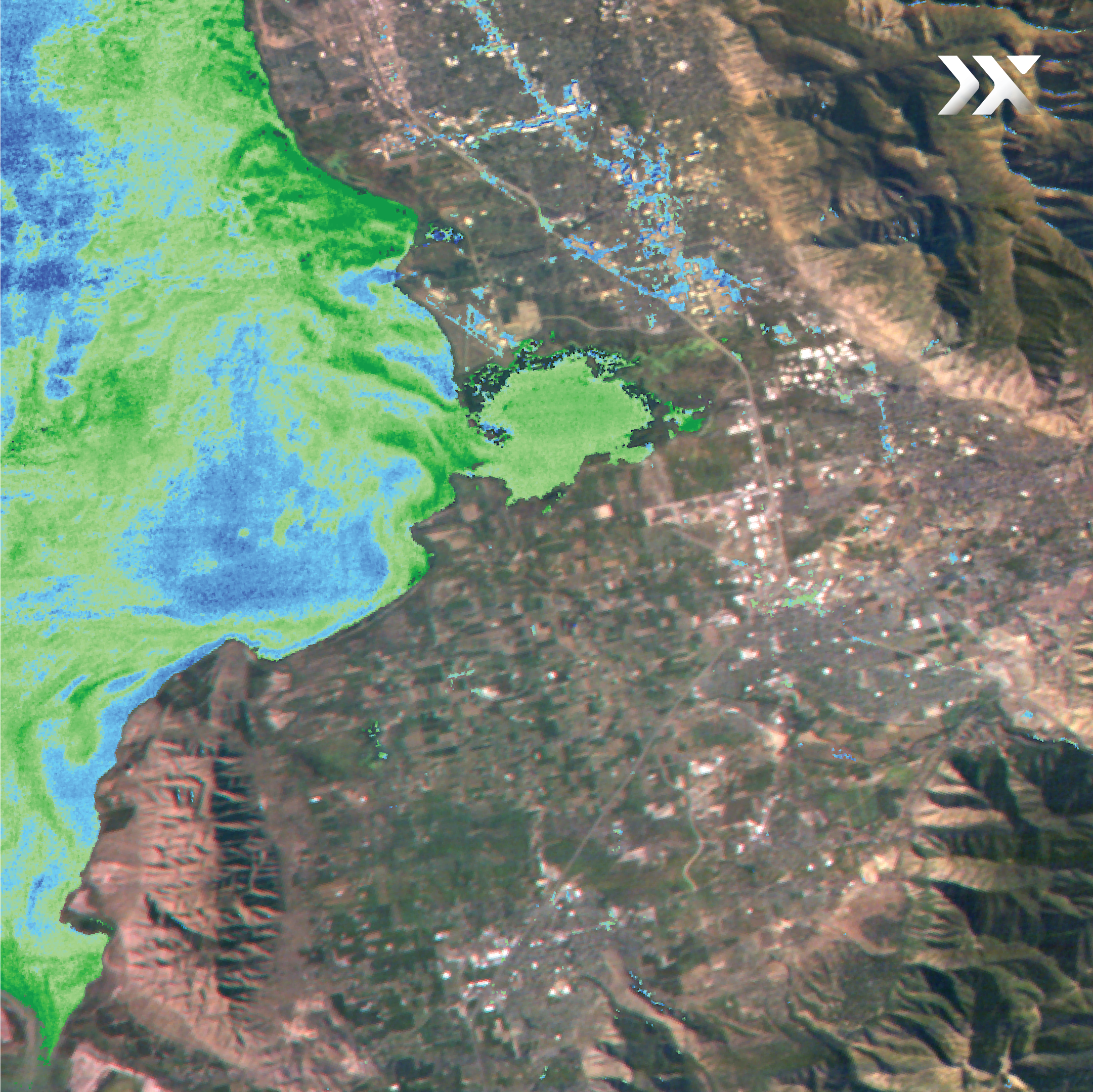
.jpg)
Early disease detection and mitigation
Pixxel’s hyperspectral satellites offer a daily revisit frequency anywhere on the planet, essential for detecting and forecasting tree diseases and pest infestations.
Hyperspectral technology provides timely information on pre-symptomatic disease detection, enabling early intervention to prevent significant threats and minimise forest losses. Access to hyperspectral data allows forest managers to experiment with and monitor tree species against biotic and abiotic stressors, maximising forest health every season.

Advanced forest parameter assessment
Pixxel's hyperspectral technology delivers 10x more information than conventional satellites, offering exceptional tree species identification and biomass estimation accuracy.
Hyperspectral imaging supports the development of optimal forest management strategies by evaluating key parameters:
- Tree Health: Measures chlorophyll content, photosynthetic activity, and evapotranspiration rates.
- Soil Health: Assesses nutrient content, soil type characteristics, and water content.
- Effluent Monitoring: Detects seepages, including hydrocarbons and nutrient leaching, from neighbouring areas.
- Early Stress Detection: Identifies stress before physical symptoms appear, facilitating timely mitigation to protect forest health.

Real World Impact
Forest health monitoring in
Rocky Mountain National Park
Pixxel’s hyperspectral imagery offers a powerful tool for monitoring forest health in Colorado’s Rocky Mountain National Park, where bark beetle infestations threaten large tracts of forest. With hyperspectral imaging, organisations can identify early signs of tree stress and support sustainable management.

Biomass Monitoring in
Rocky Mountain National Park
Pixxel’s hyperspectral imagery enables more accurate and scalable biomass monitoring across ecosystems. In Colorado’s Rocky Mountain National Park, spaceborne data helps quantify above-ground biomass with high spatial and spectral resolution. This precision supports better estimates of forest carbon stocks and strengthens efforts around carbon crediting and climate resilience.


Knowledge Hub
Learn how Pixxel helps map, monitor, and manage forests with unparalleled spectral detail.