Building a health monitor for the planet

BUILDING A HEALTH MONITOR FOR THE PLANET THROUGH HYPER SPECTRAL IMAGING

Seeing

The unseen

Pixxel is on a mission to build a health monitor for the planet and revolutionise the way we understand and interact with Earth Observation data.

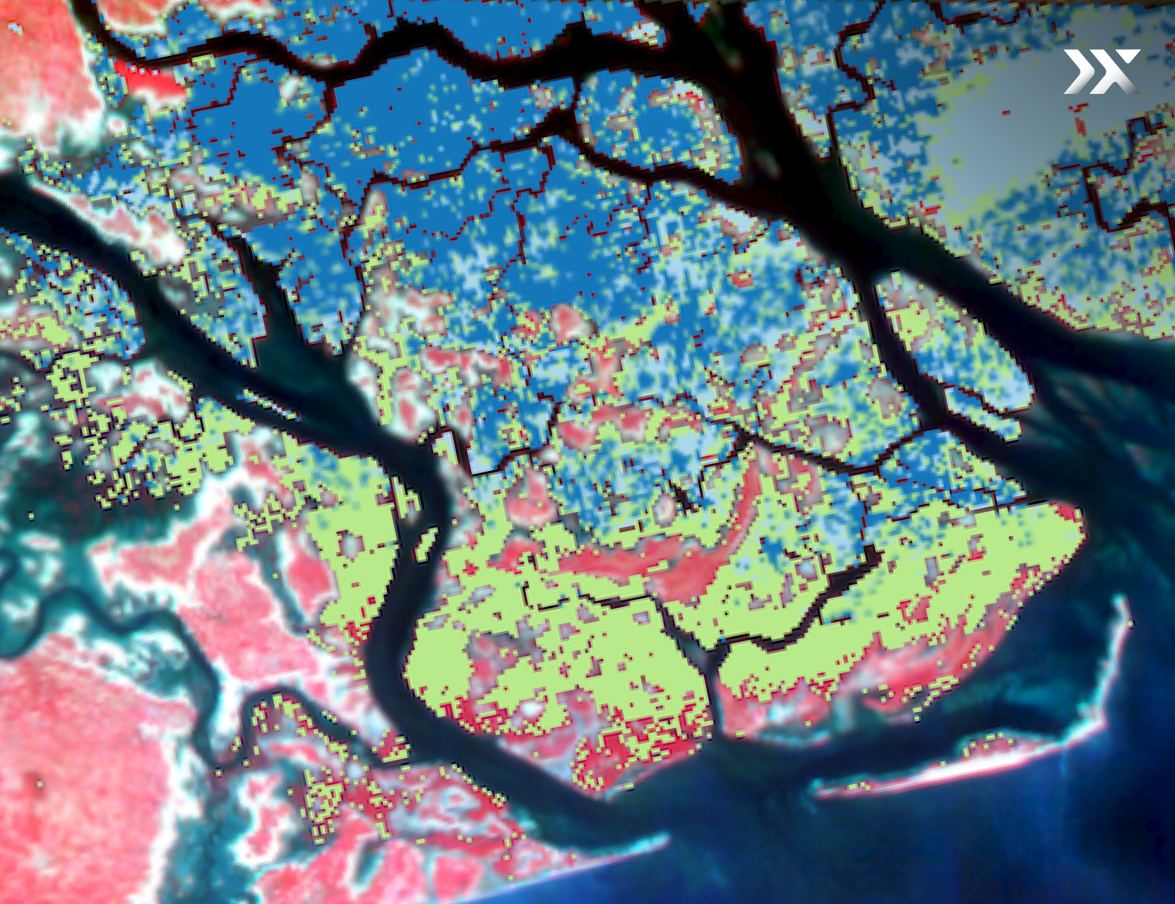
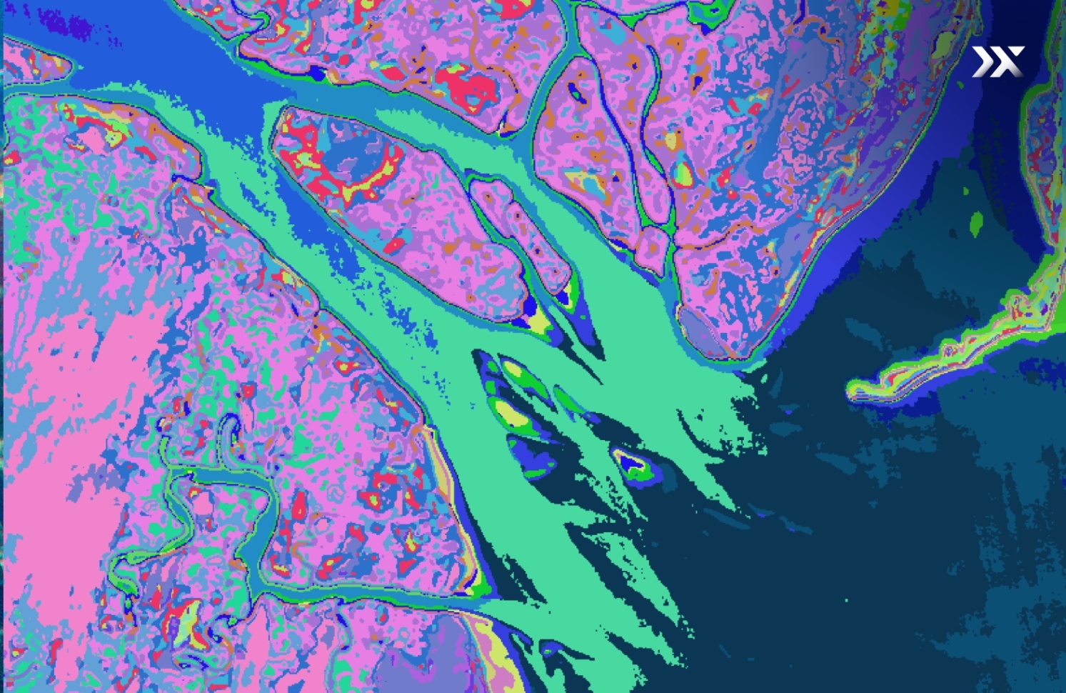
Pixxel’s constellation of cutting-edge hyperspectral imaging satellites enables the detection, monitoring, and prediction of threats that are invisible to satellites in orbit today.

Paired with Aurora, its in-house Earth observation studio that transforms satellite imagery into actionable insights,  Pixxel aims to drive impactful climate action and foster a sustainable future.

Pixxel delivers high-quality hyperspectral data and transformative insights by spectrally fingerprinting the Earth through its cutting-edge constellation of hyperspectral imaging satellites. With a mission to build a health monitor for the planet, Pixxel aims to revolutionise how we understand and interact with Earth observation data.

Pixxel's hyperspectral satellites detect, monitor, and predict threats invisible to satellites in orbit today. Combined with Aurora, its in-house Earth observation studio that turns satellite imagery into actionable information, Pixxel drives impactful climate action and fosters a sustainable future.

ConstellationDots

Shakuntala

Pixxel's first hyperspectral imaging satellite 'Shakuntala' is now on its space journey.

Illustration

The world's highest resolution

hyperspectral imagery

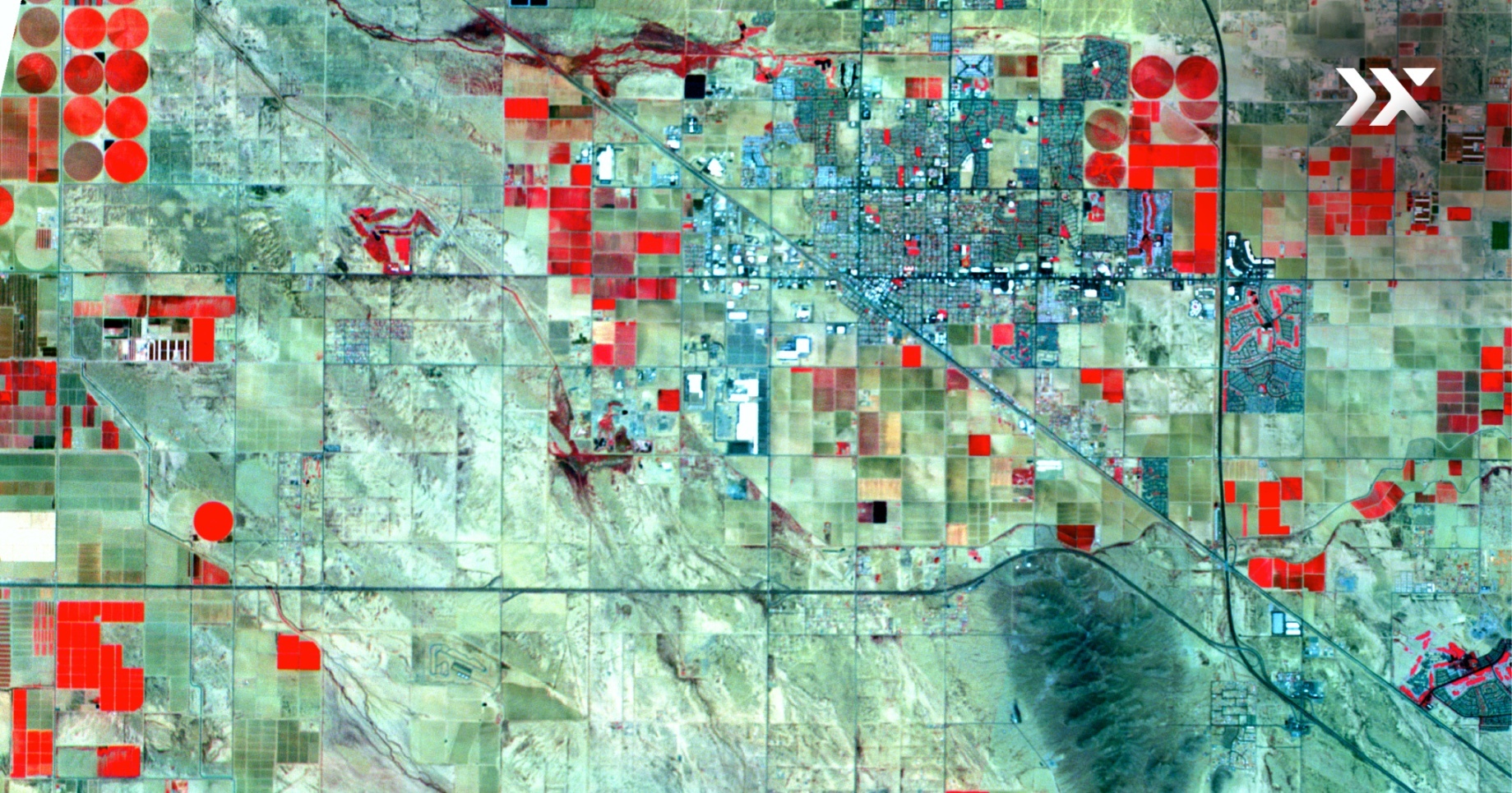
Pixxel’s hyperspectral satellites are powerful and compact. The constellation is designed to act as the planet’s diagnostics system, capturing intricate details across a wide spectral range with superior clarity and depth.

By combining high performance with cost efficiency, Pixxel's satellites facilitate more frequent and accurate Earth observation to address diverse challenges and uncover valuable data.

global coverage

High Spectral Resolution

5M spatial resolution, 250+ VNIR and SWIR bands
Search

Unprecedented Detail

50X more information than conventional satellites
Satellite

Daily Global Access

24-hour revisit frequency anywhere on the planet
global coverage

Wider Coverage

40km swath width
constellation

Setting the bar high with

DotsDots

hyperspectral imaging

Unearthing Problems

INVISIBLE TO TODAY'S SATELLITES

Before After
Hamersley, Australia: Ore exploration and mineralogy mappingSource: Pixxel's HSI Satellites

Earth observation

REDEFINED

Pixxel’s hyperspectral constellation addresses some of the world's most pressing environmental, agricultural, energy, mining, infrastructural challenges by offering unmatched detail and accuracy.

With omnipresent eyes on the planet, Pixxel empowers stakeholders across sectors to make informed decisions, promote efficient resource use, and support environmental resilience.

Pixel Illustration

AURORA: NEXT-GENERATION

EARTH OBSERVATION STUDIO

Pixxel’s in-house Earth observation studio, Aurora, democratises remote sensing for all. Aurora streamlines hyperspectral and other Earth observation data analysis with an intuitive interface, no-code environment, and a marketplace of ready-to-use models and indices.

By eliminating the barrier to entry of traditional remote sensing, Aurora equips the community with the essential tools for seamless integration of EO data into decision-making processes and workflows.

Get Access to Aurora
Pixxel DashboardDots
Dots

pARTNERING

For success

Pixxel’s hyperspectral technology establishes global impact through an extensive network of partners. This collaborative framework harnesses the power of Pixxel's geospatial datasets, unlocking new applications and integrating diverse applications. It delivers customised solutions to end-users, scaling the potential of geospatial products.

Pixxel's robust partner program unites players that drive sustainable global actions, fostering innovation and development in Earth observation.

Join our Reseller Network
IntegrasiaCRTGEODomidusProcalculoGeoimageGeofocusSpace SenseSkymap GlobalGlobalgeoMAPSGEOCGGAstraeaData FarmingWoolpertLifescale analyticsNew Light TechnologiesSatshotUSRA SPACE4EIPACGEOHeartland GIS
Astron
Da Citra Bhumi Indonesia
Eartheye Space
Eo factory
Geofocus
Indyware
Ingenious GEO Technologies
Jeo Dijital
Juruporo
Nik Logo
Sanborn
SkyFi
Skywatch
Space Imaging Middle East
Vegastar
Vekom
Ysiis
Zeusi

Hyperspectral imaging

Flight Path For the Future

With six commercial-grade hyperspectral satellites scheduled for launch in 2024 and eighteen more by 2025-26, Pixxel is well on its way to build a health monitor for the planet and shape the future of space technology.

IntegrasiaCRTGEODomidusProcalculoGeoimageGeofocusSpace SenseSkymap GlobalGlobalgeoMAPSGEOCGGAstraeaData FarmingWoolpertLifescale analyticsNew Light TechnologiesSatshotUSRA SPACE4EIPACGEOHeartland GIS

Somewhere something incredible is waiting to be known

-Carl Sagan

We are reaching for the stars and bringing the benefits of space down to Earth.

Our ambition to accelerate humanity’s expansion into space is bold, but we are confident that it will become a tangible reality.

Pixxel’s constellation of hyperspectral small satellites is the first step in harnessing space data for the betterment of our planet. Next, a fleet of hyperspectral satellites will explore remote areas of our solar system, identifying hidden resources crucial for humanity's expansion.

These discoveries will pave the way for space infrastructure, shift heavy industry off Earth, and give us a realistic shot at reclaiming the planet’s environmental health and sustainability and combating climate change.

At Pixxel, we're not just reaching for the stars; we're bringing the benefits of space down to Earth. Our vision extends beyond pioneering hyperspectral satellites to drive climate action and foster sustainability. We are committed to creating a generational company that transforms Earth observation and empowers impactful environmental solutions.

Join us on our mission to build a health monitor for the planet and make a lasting impact on our planet's future!

Asteroid Mining
Image (c) NASA

pixxel

Resources

IntegrasiaCRTGEODomidusProcalculoGeoimageGeofocusSpace SenseSkymap GlobalGlobalgeoMAPSGEOCGGAstraeaData FarmingWoolpertLifescale analyticsNew Light TechnologiesSatshotUSRA SPACE4EIPACGEOHeartland GIS