The World’s Highest-Resolution Hyperspectral Imagery
Pixxel’s hyperspectral satellites are redefining how we observe the Earth, delivering unmatched precision to detect change early, monitor in extraordinary detail, and drive future-ready decisions. Designed for global impact, the constellation is laying the foundation for a more resilient planet and smarter resource management.
A New Standard In Spectral Imaging
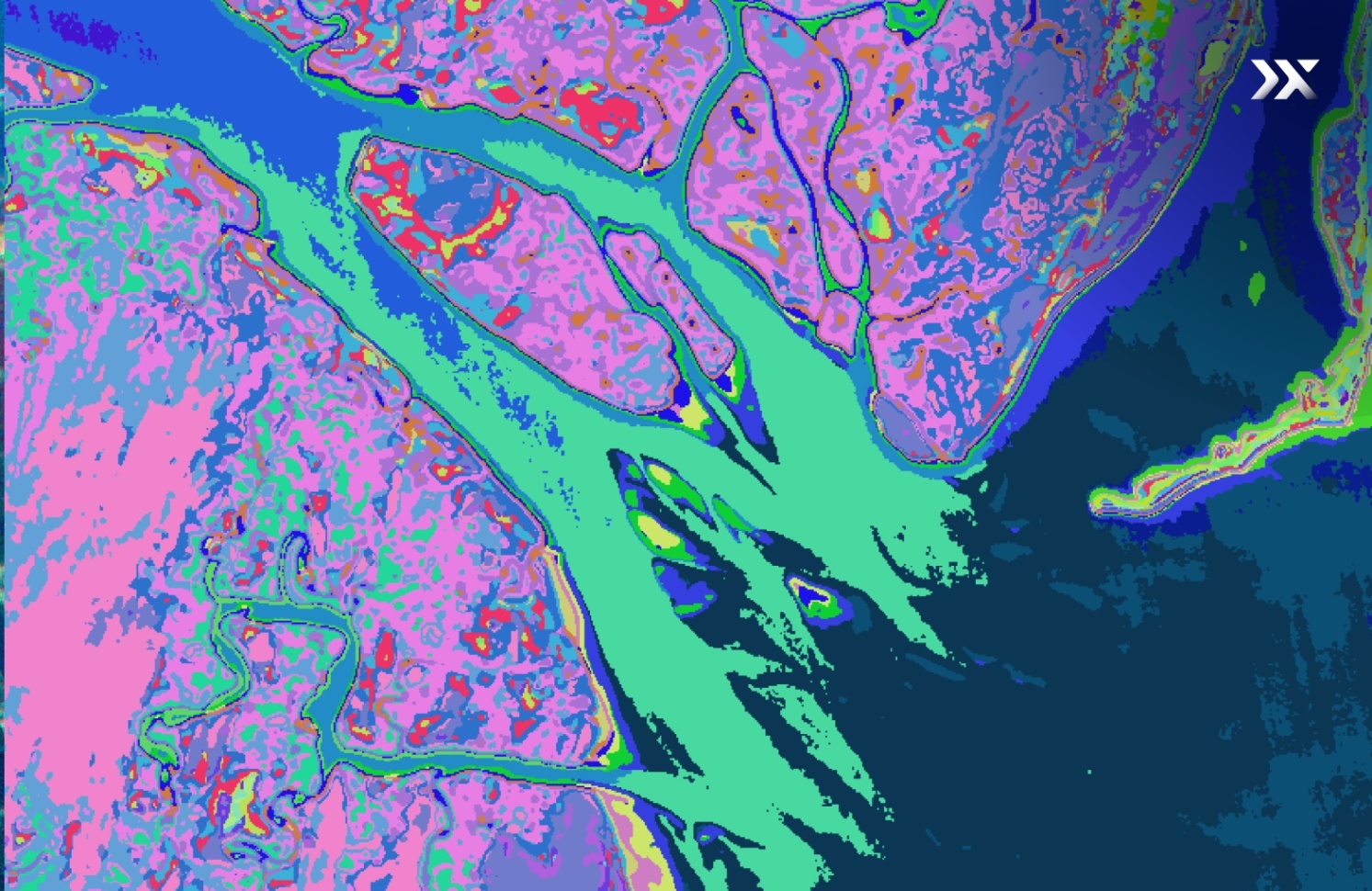
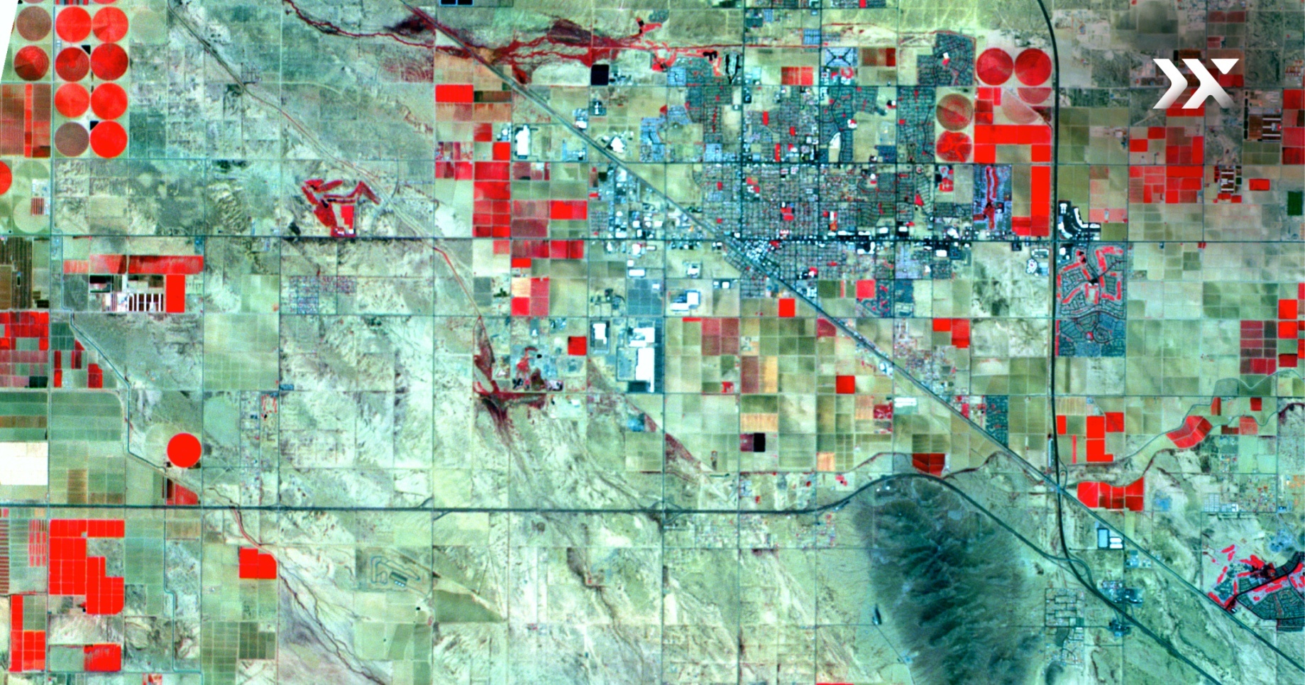
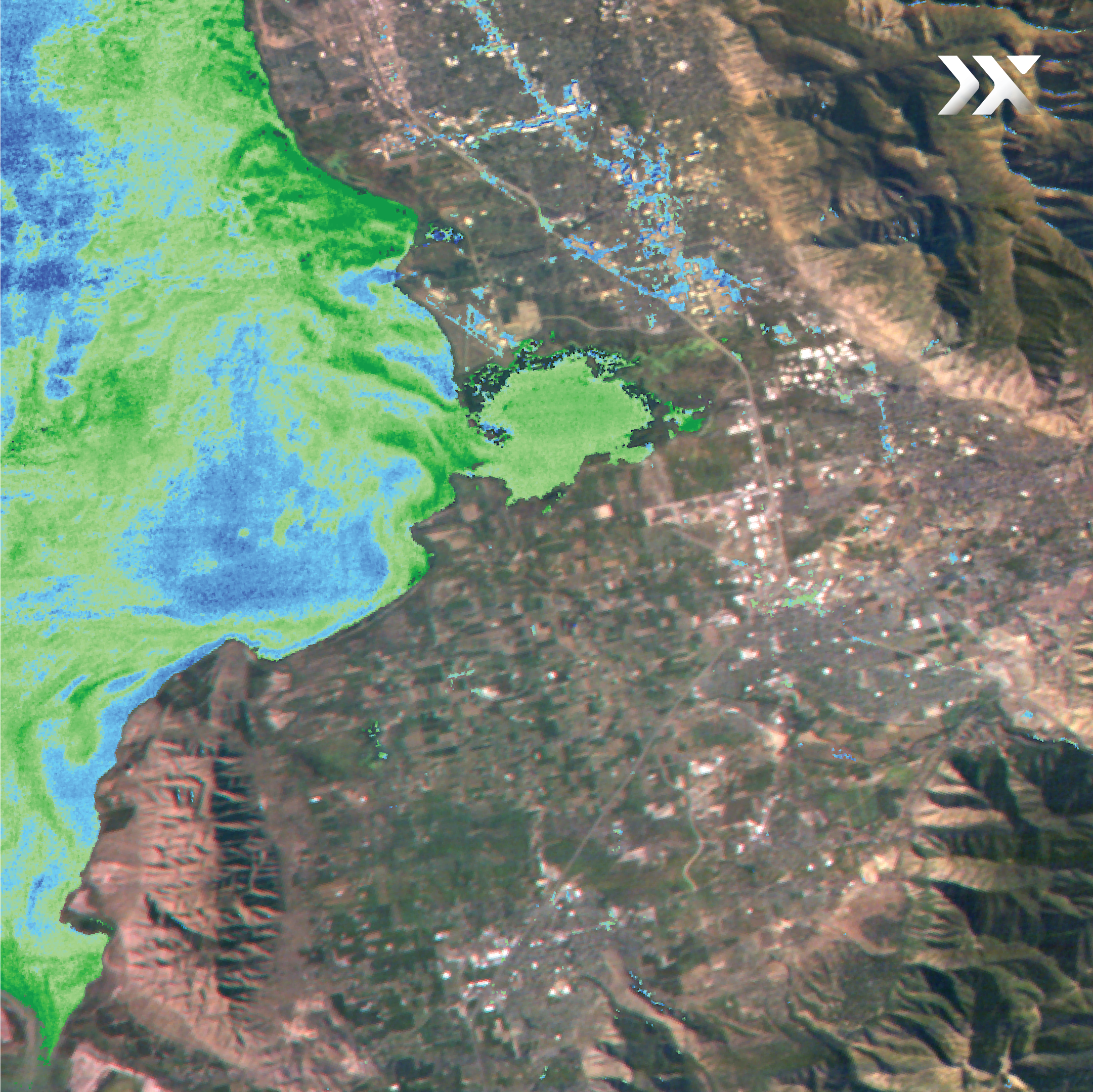
Hyperspectral imaging adds a deeper layer of context to every scene, capturing the unique spectral fingerprint of materials, vegetation, and surfaces across Earth.
By measuring reflected light across hundreds of narrow, contiguous spectral bands, it identifies patterns and anomalies that traditional sensors miss, enabling reliable analysis in even the most dynamic environments.
Hyperspectral Imagery
The Next Best Thing

Hyperspectral Imaging
signatures
use cases

Multispectral Imaging
selected bands
analysis

RGB Imaging
images
interpretation
Small Satellites. Big Vision.
Agility Meets Accuracy

Pixxel is building the world’s most advanced hyperspectral imaging constellation, with proprietary in-house sensors that deliver exceptional data quality. By focusing on high-priority regions and customer-defined targets, our lightweight satellites maximise performance while significantly reducing production and launch costs.
The result: more timely, targeted, and meaningful insights from space.

5-metre spatial resolution

250+ VNIR and SWIR bands

24-hour revisit frequency

40-kilometre SWATH width
Redefining Earth Observation Across Industries
Hyperspectral imaging delivers a richer understanding of Earth’s surface, providing a deep-dive on composition, condition, and shifts. From monitoring infrastructure and natural assets to optimising supply chains, Pixxel’s constellation helps industries adapt faster and operate more efficiently.
Browse Our Latest Hyperspectral Imagery

Knowledge Hub
Explore the science and solutions behind Pixxel’s high-resolution Earth imaging.


.png)
.png)
_1.png)
.png)
.png)
.png)
.png)
.png)


