
Pixxel and Pacific Geomatics Partner to Bring Hyperspectral Satellite Data to Canada
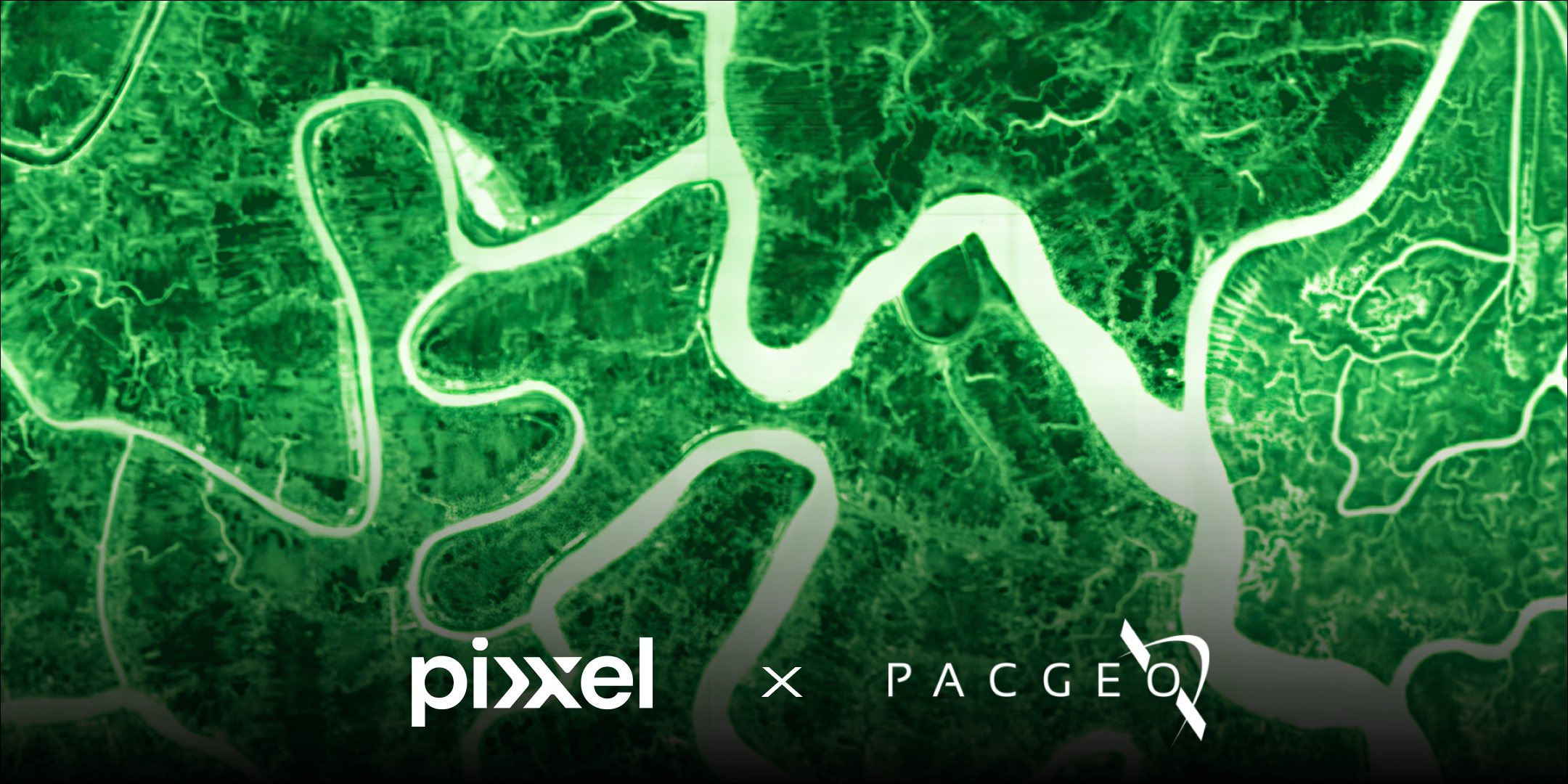
Ottawa, Canada, Bengaluru, India, and Los Angeles, California (October 14, 2025): Pixxel, a global leader in hyperspectral Earth-imaging satellite technology, and early partner Pacific Geomatics Limited (PacGeo), a leading Canadian provider of satellite imagery, are pleased to announce a strategic collaboration designed to bring Pixxel’s advanced hyperspectral datasets to Canada.
The announcement follows Pixxel’s recent launch of three new Firefly satellites on August 26, 2025, an important milestone in building its global hyperspectral constellation. PacGeo joined the Pixxel team in Santa Barbara to celebrate this achievement, underscoring the companies’ shared commitment to advancing next-generation Earth observation.
Pixxel’s constellation captures data at 5-meter resolution across up to 135+ spectral bands, unlocking insights far beyond traditional multispectral systems. These capabilities will enable Canadian organisations to address national priorities and industry needs in areas such as:
- Mining: Alteration mapping, mine tailings monitoring, land rehabilitation
- Environmental Monitoring: Vegetation stress, water quality, soil degradation, early pollutant detection
- Forestry: Species identification, invasive species detection, biodiversity mapping, and fire risk analysis
- Agriculture: Crop health monitoring, soil quality assessment, irrigation optimisation
“Our role is to connect Canadian organizations with the most advanced sources of satellite data,” said Matt Tomlins, President of Pacific Geomatics. Pixxel is pushing the boundaries of what’s possible with Earth observation—particularly in environmental monitoring, mining, forestry, and agriculture. As an early partner and adopter, bringing this technology to the Canadian market from day one is something we’re proud to be a part of.”
Awais Ahmed, Founder and CEO of Pixxel, added: “Bringing Pixxel’s hyperspectral data to Canada is a milestone we’re proud of. These capabilities reveal critical details about our planet that have never been accessible before. With Pacific Geomatics, we can ensure Canadian organisations put this intelligence to work, whether in protecting forests, advancing mining practices, or strengthening agriculture and environmental management.”
With six hyperspectral satellites already in orbit and more on the way, Pixxel is quickly approaching the commercial availability of its datasets in Canada later this year, reshaping how Canadian organisations monitor and manage their land, resources, and environment.
Organizations interested in accessing Pixxel’s hyperspectral data in Canada can contact Pacific Geomatics for more information or contact Pixxel here.
.png)
.png)