Pixxel and 4EI Partner to Advance Environmental Insights with Hyperspectral Imaging
24 July 2025 – Pixxel, a US-India-based space technology company building the world's highest-resolution hyperspectral satellite constellation, today announced a strategic partnership with 4EI, a pioneering geospatial analytics intelligence company, to accelerate the use of hyperspectral data for environmental research and monitoring.
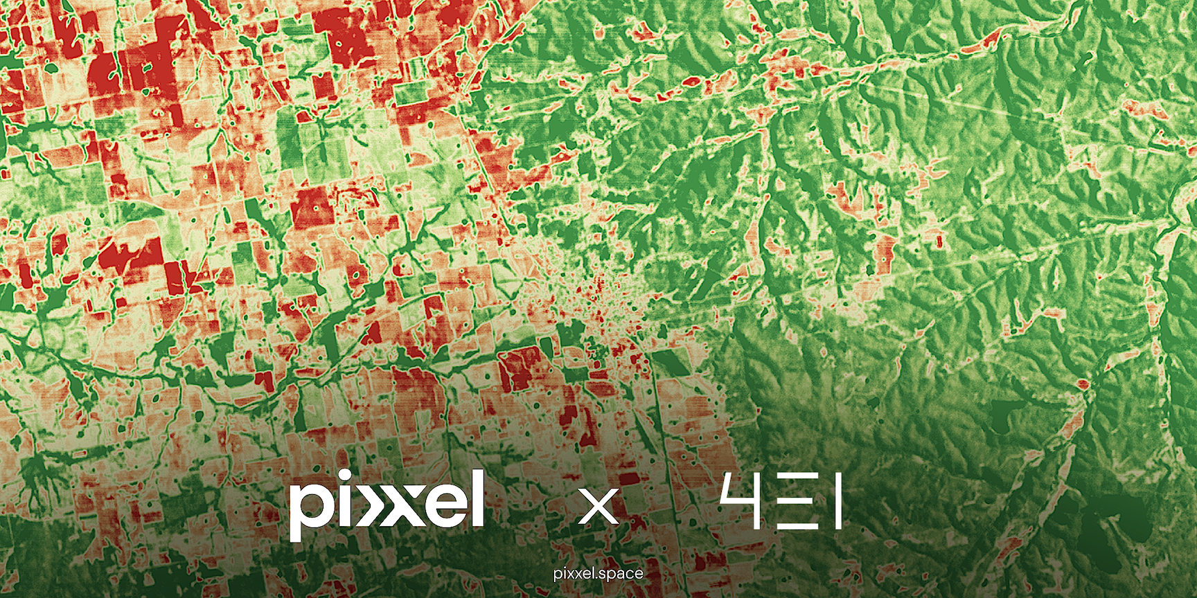
The partnership marks a significant step toward unlocking new insights into Earth’s ecosystems. As an initial focus, 4EI will leverage Pixxel’s high-resolution hyperspectral imagery to support research and development in habitat mapping and ecosystem health tracking. Unlike traditional RGB or multispectral imagery, hyperspectral imaging captures hundreds of narrow, contiguous spectral bands, enabling the detection of subtle ecological changes such as shifts in chlorophyll content, vegetation stress, water quality, and species-level classification.
The partnership marks a significant step toward unlocking new insights into Earth’s ecosystems. As an initial focus, 4EI will leverage Pixxel’s high-resolution hyperspectral imagery to support research and development in habitat mapping and ecosystem health tracking. Hyperspectral imaging captures hundreds of narrow, contiguous spectral bands, enabling the detection of subtle ecological changes such as shifts in chlorophyll content, vegetation stress, water quality, and species-level classification that traditional imagery may miss.
Over the longer term, 4EI also plans to expand into applications like methane detection, where the spectral fidelity of hyperspectral data can help quantify and localise emissions with greater accuracy.
“4EI brings deep scientific and analytical expertise in applying Earth observation data to real-world environmental challenges, particularly across national-scale programs in the Middle East and Europe,” said Aakash Parekh, Chief Commercial Officer, Pixxel. “We’re excited to collaborate with a team so committed to science-driven impact and to explore new frontiers made possible by hyperspectral imaging—from precise habitat analysis today to methane detection and beyond soon.”
David Critchley, CEO, 4EI, said: “Pixxel’s hyperspectral constellation Fireflies, which delivers 5-meter resolution data across 135+ spectral bands with global daily revisit, provides a robust foundation for developing advanced environmental monitoring solutions. 4EI’s R&D efforts using this data are expected to pave the way for scalable tools to track biodiversity, ecosystem degradation, and climate-driven changes more effectively than ever before. This partnership reinforces both organisations’ commitment to leveraging cutting-edge space technology for a more informed and sustainable planet.”