Pixxel | Hyperspectral Imaging for Earth Observation

Seeing The
Unseen

Pixxel is on a mission to build a health monitor for the planet and track critical changes across land, oceans, and atmosphere before they escalate. From developing advanced hyperspectral satellites to transforming raw imagery into powerful insights, Pixxel brings together every layer of Earth observation.

By unlocking data beyond the reach of traditional systems, we aim to change how we respond to challenges like climate change, pollution and declining biodiversity.
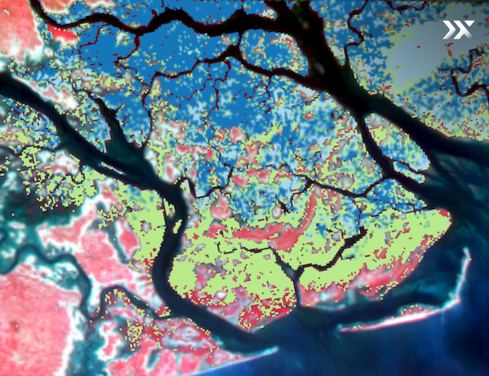
Pixxel is on a mission to build a health monitor for the planet and track critical changes across land, oceans and atmosphere before they escalate.
ENTERING A NEW CHAPTER

The Fireflies
Take Flight Again!

Satellite 1
Satellite 2
Satellite 3
Firefly is Pixxel’s first commercial constellation, featuring six satellites designed for high-resolution, high-frequency hyperspectral imaging on a global scale.
Three more Fireflies are set to launch aboard SpaceX NAOS Falcon 9 mission, extending the constellation’s reach, revisit, and, imaging capacity.
The first three Fireflies launched in January 2025 and have been actively capturing high-fidelity spectral data across diverse environmental indicators. With this next launch, Pixxel will complete phase one of the constellation and move closer towards its mission of building a health monitor for the planet.

Data-driven Insights For Every Sector

From environmental shifts to agricultural productivity, energy efficiency, and sustainable mining, the world’s most complex challenges demand clearer answers. Pixxel’s hyperspectral data offers a richer view of the planet, helping industries make smarter decisions, optimise resources, and strengthen resilience where it matters most.

Agriculture

Early stress detection

Crop species classification

Crop yield prediction

Soil nutrient analysis

Energy

Oil spill detection

Pipeline monitoring

Vessel tracking

Hydrocarbon estimation

Government

Plan urban infrastructure

Map road networks

Natural disaster response

Natural resource planning

Environment

Habitat mapping

Pollution & stress level quantification

Carbon sequestration

Vegetation detection

Forestry

Tree species classification

Early vegetation stress detection

Above-ground biomass estimation

Forest fire detection and mitigation

Mining

Mineral detection

Mine site closure

Illegal mining prevention

Environmental compliance

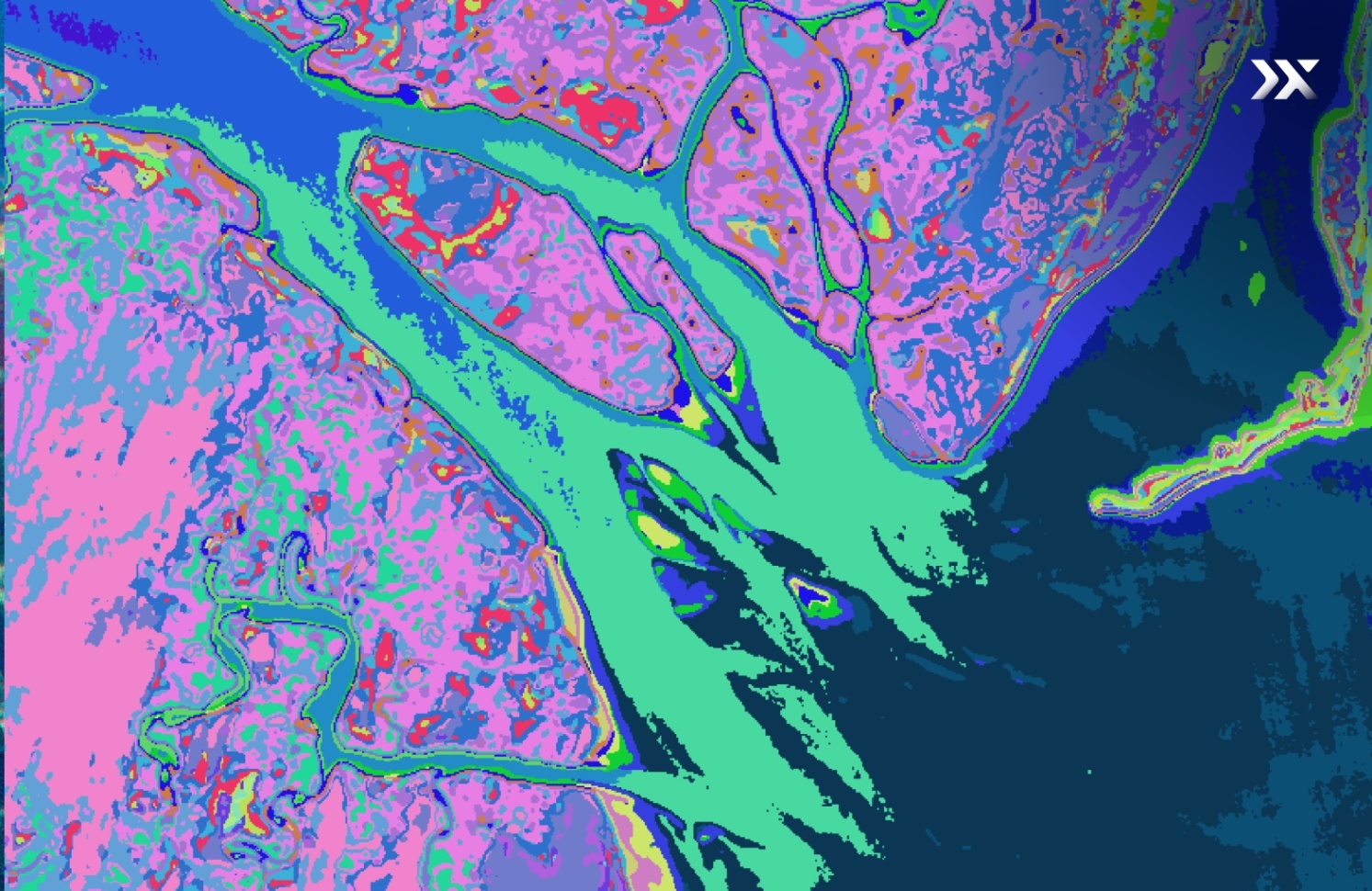
Next Generation Earth Observation With  
Aurora by Pixxel

Aurora, Pixxel’s in-house Earth observation studio, brings remote sensing within reach. Its no-code platform simplifies satellite data analysis, while a growing library of ready-to-use models and indices makes exploration and application easier than ever. By removing traditional barriers, Aurora helps users turn Earth Observation data into real-world impact.
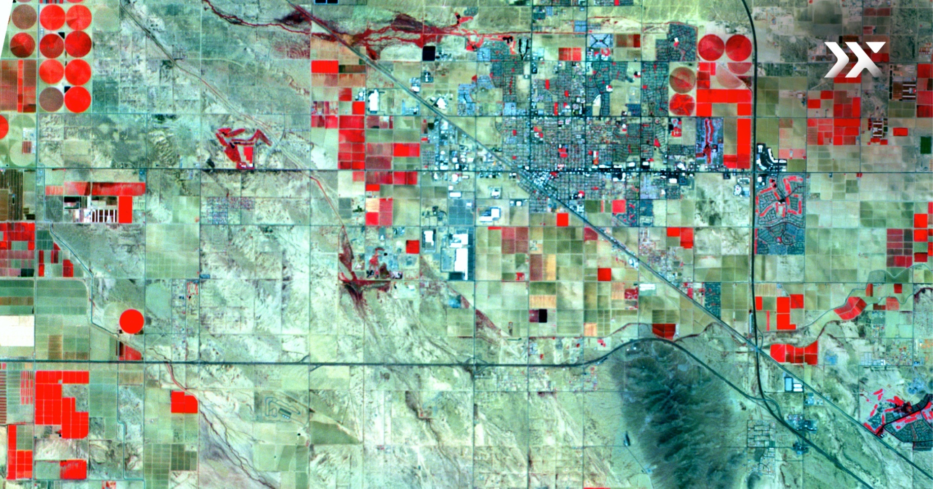
Turn Satellite Data
Into Action With Pixxel

Access cutting-edge hyperspectral imagery and intuitive analytics to move faster, solve complex challenges, and drive smarter outcomes.

Knowledge Hub

Discover how Pixxel’s Earth Observation solutions drive real-world impact.

May 14, 2025
|
Storymaps

Hyperspectral Insights into Mangrove Species Classification

Read more
Read more
August 20, 2025
|
Blog

Six Months in Orbit: Firefly Status Check!

Read more
Read more
Water Quality Monitoring, Utah Lake, Utah, USA
July 17, 2024
|
Whitepaper

The Hyperspectral Advantage in Water Quality Monitoring

Read more
Read more